


FARMINGTON - T 2 Voting District, Washington County, Wisconsin
About
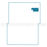
Outline

Summary
| Unique Area Identifier | 697607 |
| Name | FARMINGTON - T 2 Voting District |
| County | Washington County |
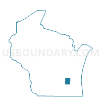
| State | Wisconsin |
| Area (square miles) | 7.04 |
| Land Area (square miles) | 6.99 |
| Water Area (square miles) | 0.05 |
| % of Land Area | 99.29 |
| % of Water Area | 0.71 |
| Latitude of the Internal Point | 43.49082640 |
| Longtitude of the Internal Point | -88.09569290 |
Maps

Graphs
Select a template below for downloading or customizing gragh for FARMINGTON - T 2 Voting District, Washington County, Wisconsin


Neighbors
Neighoring Voting District (by Name) Neighboring Voting District on the Map
- FARMINGTON - T 1 Voting District, Washington County, WI
- FARMINGTON - T 3 Voting District, Washington County, WI
- FARMINGTON - T 4 Voting District, Washington County, WI